"ESTABLISHED 1907*
COUNTY SEAT Sandpoint
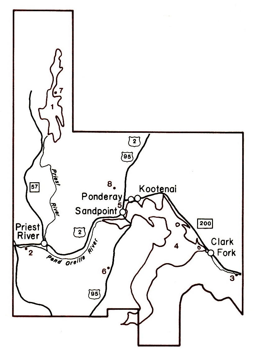
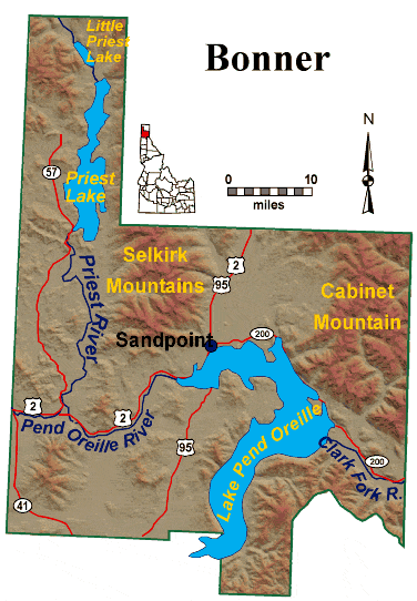
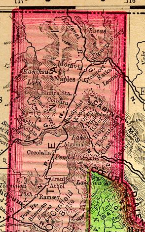
Bonner County was named for E. L. Bonner, who established Bonner's Ferry in 1864. White man first reached Bonner County when David Thompson, fur trader, arrived in 1809 and that year established a trading post on the shores of Lake Pend Oreille. Father Pierre Jean Desmet preached and taught in the region in the late 1840's. After gold was discovered in the Kootenay District of British Columbia and at Helena, Montana, a mail and freight route was established across the Idaho Panhandle at Lake Pend Oreille, one of the largest freshwater lakes in the U.S. Some of the most beautiful mountains of the state — the Selkirk and Cabinet ranges— make up the county's eastern boundaries. Lumbering, tourism and recreation, and agriculture are the major industries of the county. Priest Lake lies within the western area of the county." — "The Idaho Almanac," 1977 Edition, State of Idaho."
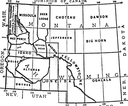
*Created from northern part of Kootenai County and included present county of Boundary (see Hawley's history).
Almanac Map ~ Location & population from almanac ~ ISU Atlas map ~ 1864 map showing original counties ~ Neighbors
Northwest Company, Kullyspell Trading Post - Idaho's first trading-post, 1809 , by C. J. Brosnan
Wild Horse Trail (1864)
Hawley's 1920 history
Bonner County post offices
Bonner County Military Records
(Bonner County at Idaho Genealogy
Bonner County Bios at accessgenealogy: Callahan, John C. ~ McClure, William J.
Links
Bonner Co., IDGenWeb
Bonner Co. USGenweb Archives
1895 Rand, McNally map, before county creation

Webspace for this site is generously provided by Genealogy Village and Access Genealogy
Copyright © 2013 - Sharon McConnel. All Rights Reserved.